A long time before I started my hike, I decided I'll carry my Nexus 4 phone with me on the trail. I knew it will
come in handy both as a phone, to keep in touch with my family, and as a way to access the internet.
While my specific phone is not the most recommended model for the task (It's battery is really not up for the
challenge), I did enjoy it for many different uses and scenarios. Here is a list of the apps I used on the trail,
along with a few that were disappointing or just weren't used that much.
I personally did not read any eBooks on the trail, but for anybody who thinks about carrying a Kindle or NOOK device
with him, this is a better option, in my opinion. The screen is smaller, and the battery life is not as good, but it
does the trick.
I really got into listening to audio books on the trail. And Audible offer a free first month, in which you can just
get 1 free book. Good deal.
Usually before long climbs, I'd put on the book I'm currently listening to. I must admit - the 2nd book I took was
total crap. But it still helped me during long days.
Just make sure you do cancel your account after downloading your book - they are very persistent with their "are you
sure?" dialogs, and I managed to miss it and ended up paying for one extra month. The base price is ~$15, but I got
an offer of ~$7.5 for several month, in my (finally successful) cancellation process. Also a good deal.
I never tried NOOK Audiobooks, but I would guess it's quite similar to Audible.
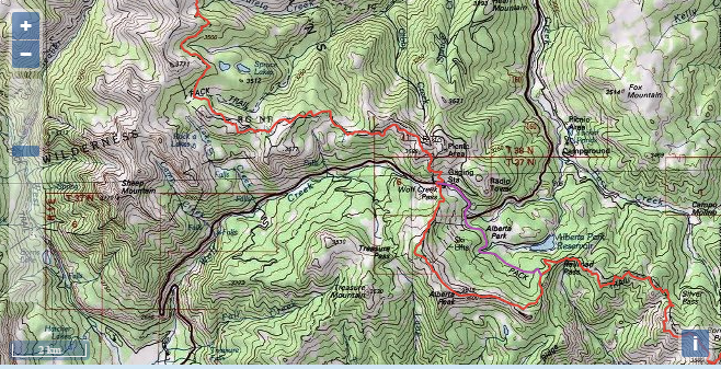
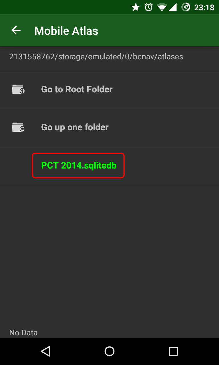
Now we are in the big league - this is one of the most useful apps I had. While the link directs to the trial
version (I think it's good for a week), the full version does cost a bit (I think it's $15. Is it $15?). I had file
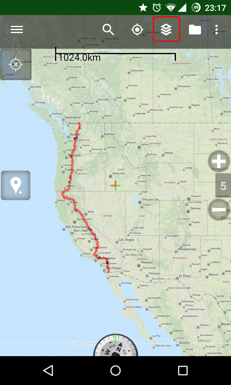
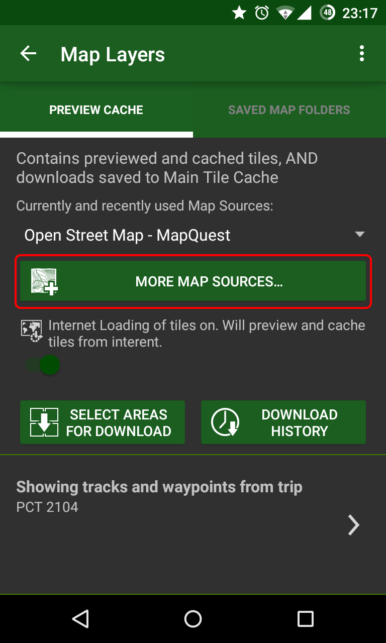
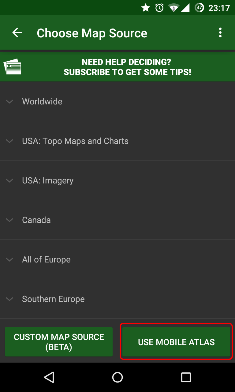
that contained full topo maps of the entire PCT corridor, for offline use (I'll post it in my next post). That,
along with
Halfmile's GPX file was all I actually needed to
hike the trail and stay on it. After getting a GPS fix, I could immediately see where I was in relation to the
trail. It was really helpful in the High Sierra passes, where Idan led Yair and me safely down snow covered trails.
There are other, similar apps, such as
Orux Maps, which might also do the trick. Highly
recommended, either way.
I used this app for most of the way, just to write my blog posts from the trail. After starting with the official
Blogger app (next in line), I found this app to be much much better. It still had plenty of bugs and errors.
I'd usually write my blog posts in the evening, with no cell service around. At first, I assumed the app will
remember the time and location of where I created the drafts, and keep this data for when it actually uploaded it to
my blog, when I got into town. I found out it was not the case, and at first I had many mismatched blog entries,
with wrong dates and locations. I discovered I should "schedule" each draft I'm writing, to the current date of
writing it (effectively scheduling it to the past), so that the upload later would post it with the correct
date.
Many times, while in town, on cell service, or some local Wi-Fi, I had to kept trying again and again to upload my
posts. It would fail uploading a bit too much for my taste. I also had many occurrences of missing uploaded photos.
But it was still better than the official app -
A terrible, terrible app. Don't go near it. This app is not maintained and is buggy as hell. No solution to writing
posts while being offline, uploading posts sometimes result in broken images, trying to edit current posts causes
the app to crash. Completely useless. Stay away.
I used DropBox to backup all of my photos from along the trail. I had it set to automatically sync every photo on my
phone up to my Pictures folder, and occasionally had my wife back home copy it all outside, to free up some space.
The photos I took along the trail are one of the few things I always worried about loosing (and I lost about a week
in the Sierras.. damnit), and being able to backup them on the go was very nice.
I also used DropBox to get an audio book from my wide (The Brothers Karamazov, in case you were wondering). That was
also very simple and nice.
I guess there's no need to introduce Facebook. It was just a good way to keep up to date with recent changes and
information on the trail, as well as a nice way to keep in touch with friends and family. It's useful,
occasionaly.
While it hadn't really caught on as a social network, I still used it to backup my photos as well, as a backup to
the DropBox one. It's just as simple as DropBox, and it's just one more place where my photos were kept safe.
A nice camera app from Google. It does the trick, same as most other stock or non-stock camera apps for Android. I
really liked the Photosphere option, and I took such spheres in the high passes of the Sierras, but that needs some
matching hardware, and I think it won't be available on every Android phone. Anyway - I used a separate pocket
camera for most of my photos, and rarely resorted to using my phone. I still think this camera app is nice,
though.
Google Drive, along with its accompanying apps of
Docs and ;
Sheets, was helpful to keep the various pdf and documents on my phone, even with no data
reception at all. In Southern California, I kept the
Water Report available for offline view on my device, and only had to occasionally
let it automatically update itself when in towns. I also had my
PCT Planning
spreadsheet handy, even though I was not following my plans to the letter. It was handy many
times.
As a music app, this one is nothing special. It has all the normal bells and whistles, like searching for a specific
artist or album, and shuffling the results.
The basic, and free, service it offers, is the ability to easily upload all your music library back home (up to
20,000 songs) to the Google cloud, and then listen to it using the app, from wherever you are. A data connection is
necessary when listening to new songs, but it automatically keeps songs on your device, for offline listening later,
and you can also select albums and songs to be actively downloaded to your phone.
I also really like the paid service, currently called
Google Play Music All Access, but it is
actually the same service as the newer
YouTube Music
Key, which allows you to add any song or album in the Google Catalog into your album, to listen to while
online, and to download for offline use. So basically - limitless music access. Awesome.
Every few weeks, when I got into town, I cleared the music cache on my phone, and started selecting a new and
eclectic music selection for my next section. Towards the end, I selected many albums I've never listened to before,
by artists I heard about, but never actually got to know. It was very nice, having the option to easily get so much
content like this.
Using Google Voice, as someone coming from Israel, it was much easier for me to switch between T-Mobile and AT&T,
while keeping the same Google Voice number so that people could reach me. It took me some time to figure out how to
do that, but it is a nice trick.
I also used it extensively to call to Israel, while paying for a non-international plan on StraightTalk. With the
introduction of the Hangouts Dialer, every Wi-Fi access point becomes a way to call the outside world (you'd be
surprised how many places have Wi-Fi but no decent AT&T cell service), and currently, Voice calls to many US
phones is also free. So it's worth it.
This app is a nice one to have when trying to get a GPS fix, as it tells you how many sattelites are currently
visible to your phone, and you can get mad and annoyed at your phone, staring at the screen, and waiting for it to
finally get a fix. It is also very useful in that it can automatically download AGPS data (Assisted GPS data), when
you have cell service and a data connection, that greatly speeds up getting a fix. It is recommended downloading
this data whenever you can, so that in those far out places you try to get a fix you will have the most recently
available data.
Another must have app. Or at least, one at the top 3 I used on the trail. While using BCNav and my offline maps is
all one needs to keep on trail, I rarely actually had to use it (and eat up my battery on getting a GPS fix) - I
just used Halfmile's app instead. I was worried the lack of a map view in the app would be annoying, but I can now
say it contains everything that a hiker needs. Knowing where you are, and how far it is to any other location on the
trail. Simple and elegant. I also really liked the cumulative elevation gain and loss info between locations (even
though they are not always accurate), and have it used extensively to plan ahead my next section or sections. An
amazing app, and I'm sure the 2015 edition will be even better and more accurate, after Halfmile himself logged the
entire PCT this year. Thanks again to Halfmile and White Jeep for their hard work on making this app available.
I mostly just used Hangouts to keep in touch with my family back home. I like it better than
WhatsApp, but I guess
they both work similarly. It's just a simple and easy way to keep up with people. The Dialer add on though, is quite
awesome. It only came out when I finished the trail, but it was very handy on the bus ride from Manning Park to
Vancouver - I had no data plan for Canada, but the bus had free Wi-Fi, so I was able to use the Dialer and my Google
Voice account to call Israeli cell phones easily. It worked like a charm. If it were available for me all though the
trail, I might have skipped getting a phone plan entirely, and only relied on Wi-Fi access to call home. Maybe not.
But it's a very nice feature.
Not very recommended, unless you have a matching Panasonic camera with Wi-Fi access. But once I got my new camera
and started using it, it was much easier for me to transfer the photos from my camera to my phone, and from there,
using DropBox and Google+, backed up in the cloud.
The app itself is not exceptionally good, only allowing up to 10 photos to be transferred between the camera and the
phone in each batch. It's quite a pain, when you've got 150+ photos you need to send over. But at least I had a way
of getting those photos.
A simple app that allows you to cache many different PCT resources, including Halfmile's maps, the Water Report, and
other such resources. I never actually used it, but I met some hikers who really liked it.
While being "faithful" to the Halfmile's app, many other hikers I've met used Guthook's guides on the trail. They
cost ~$6 per section (5 sections for the entire PCT), but they seem to be worth it. The data, at least during 2014,
was probably a bit more accurate, with more water sources and camp sites available on Guthook's. I would imagine the
2015 versions will be more similar in that regard.
The Tour of the PCT app is free, and is meant to be used for planning the PCT in advance. For a full data set inside
the app though, it does require an in app purchase of several dollars.
I only discovered this app recently, and have never actually used it, so this is just a suggestion.
Before the trail, I mostly wanted a blogging platform/app for my own uses, so I will be able to remember my time on
the trail. The benefit of letting the world know of my adventures was a nice bonus, but not the main thing I was
looking for. Recently, I found this nice diary app, which seems to be doing just what I was looking for - It allows
you to easily write daily posts, automatically adding the location (and current weather - I guess this won't work as
well with no data service). You can also share your diary with other people, making it into a simple blogging
platform, at least for close friends and family.
I don't know how well it all works while being offline, but I would definitely recommend giving it a try.