Monday, April 14, 2014

Day 3 - some random camp site to Mt Laguna

Chilling in front of the Mt. Laguna store
Today we had a nice and easy stroll into town. We only had about 6 miles to go from our camp site, and most of it was fairly easy.
After about 1 mile or so we crossed a small stream, and I finally got an opportunity to use my filter. It wasn't as exciting as I thought it might be. But the water is good.
We made good time, and got into the Mt Laguna lodge at about 11, where we got a room, showered and did some laundry in a bucket.
The outfitter here has everything you'd ever need on the trail, and, apparently, he is also a Facebook friend of mine (hello Dave Super!). He took our photo, and I hope to see it on fb soon.
The store has plenty of hiking supplies, so we got some good for the next two days, until we'll reach Julian.
We were planning on the local restaurant for some burgers for the seder meal, but they only open on weekends, so it's Knorr meal for dinner. I did buy a yogurt and canned fruit salad for dessert, and an apple. So I have something to look forward to.
This is not a Star Observatory. It's just a radar.
Walking the trail around Mt Laguna I saw what I thought was a star observatory, and I was hoping they might have something planned for the lunar eclipse tonight. But sadly, it's just a radar. So I hope I will manage to drag myself outside in time to watch it happen. It will also be freezing outside... So I don't know if it'll happen.
Our first hotel room on trail.

Sunday, April 13, 2014

Day 2 - Lake Morena to some random campsite at pct mile 36.1

The night was a bit chilly, and I remembered why I should have bought a beanie hat. I could feel the heart escaping me from my head while I was sleeping in my tent. Well, I'll buy one tomorrow at Mt Laguna.
In the morning many other hikers went over to the nearby deli to get some breakfast, but we preferred to eat out of our pack instead. It's always better to lighten your load.
We decided we'd rather make an easier day today, and not push all the way to Mt Laguna at 23 miles. We'll get closer, and leave a short section for tomorrow, so we can reach it early on the day, and take our time to do some town chores.
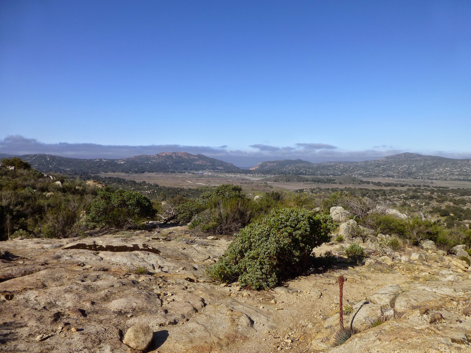
View back towards Lake Morena 
The first 6 miles were rather easy, and we reached Boulder Oaks campground for some nice rest and water refill. I was also surprised to see I have cell reception there, so I called home, which is always nice.
From there we only had ten more miles, but they were not easy. The terrain was all exposed, and we almost couldn't find a shady spot when we needed rest. It was also a lot of ridge walking with many annoying climbs. It was not a fun section.
I tried using my umbrella, by attaching it to my pack. It started fine, but when the wind started it wasn't very comfortable. I will try it again some other day.
We made a short stop at Fred Canyon, which had excellent shade, and then we pushed on for another annoying climb before reaching the camp spot at pct mile 36.1.
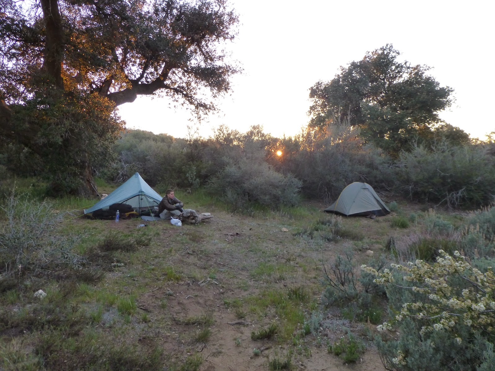
Nothing much here, except for level ground for tents, and a nice oak tree. Not even a water source. But we have enough water for the night, and there's a water source less than a mile away tomorrow, so all is good.
Our campsite for the day

>

Saturday, April 12, 2014

Day 1 - Campo to Lake Morena

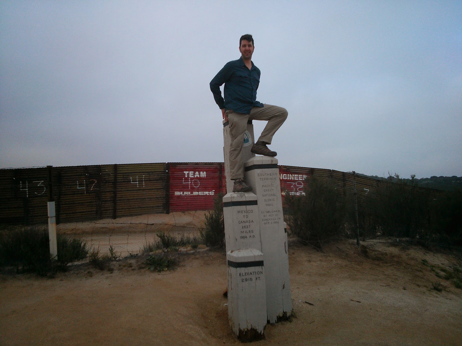
0mi - The Pacific Crest Trail southern terminus
I must admit that the start was a bit of an anti-climax. Maybe it was because I was at Scout and Frodo's for two days, and the initial excitement wore off, or I was expecting too much.
Anyway, we got to the border at around 7:30, took all the mandatory photos (we were 8 hikers starting today from Scout and Frodo's) and then Idan said "let's go", and we went.
The trail was fairly easy most of the day, just cruising around with no major climbs, until we started hiking down towards Hauser Creek (pct mile 15.4). It took a while, and we were happy to rest a bit down under a nice tree.
My initial plan was to stay there for the night, but we got there at 12:50, which was way too early, so Idan persuaded me to keep on hiking to Lake Morena.
The climb out of the creek was a bit annoying, but the worst but was that after it was done, we still had to climb up some more. Go figure.
Getting down to Lake Morena campground also took forever, but we got here at 15:05, so it was good. Met many interesting hikers around here, some of them hiked the AT and the PCT before, and some just started today, like us.
Hikers pay here $5, and are allowed to camp at zones 65 and 66. So you can just stroll in here, set up and leave your stuff, before going to the trail office to pay.

Friday, April 11, 2014

Making Myself Useful

Last night I overheard Frodo mentioning that Jan is going to maintain her water cache, and I offered my help in carrying those water bottles to the cache. I figured I might as well do something useful while I'm here, since I only start my actual hike tomorrow morning.

This morning Jan was glad to accept my offer, and she took me, along with her husband Jim, to the cache. On the way there I heard many stories about the trail, and the trouble the PCTA and local maintenrs have with maintaining it, and making sure everything runs smoothly. It's not an easy task, but all those volunteers are doing it anyway, and we shouldn't take it for granted.

Before we got to 3rd Gate Water Cache (near PCT mile 91), we stopped by the Barrel Spring water & campsite (PCT mile 101), and met up with Lawrence. He was just done cleaning the spring, and replaced all the water in the trough. That's where I first met the actual trail. It was a bit exciting, yeah.
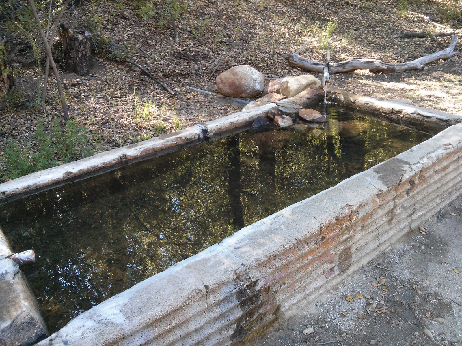
Barrel Spring
From there, we continued along with Lawrence to the 3rd Gate cache, and filled it up with more water. We also carried away the empty bottles and cardboard boxes. It felt nice to take care of the cache, and I can't wait to actually get there on the trail, so I can view the work done there in a different light, now that I know what it takes to maintain a cache (well - I got a small taste of it, at least)
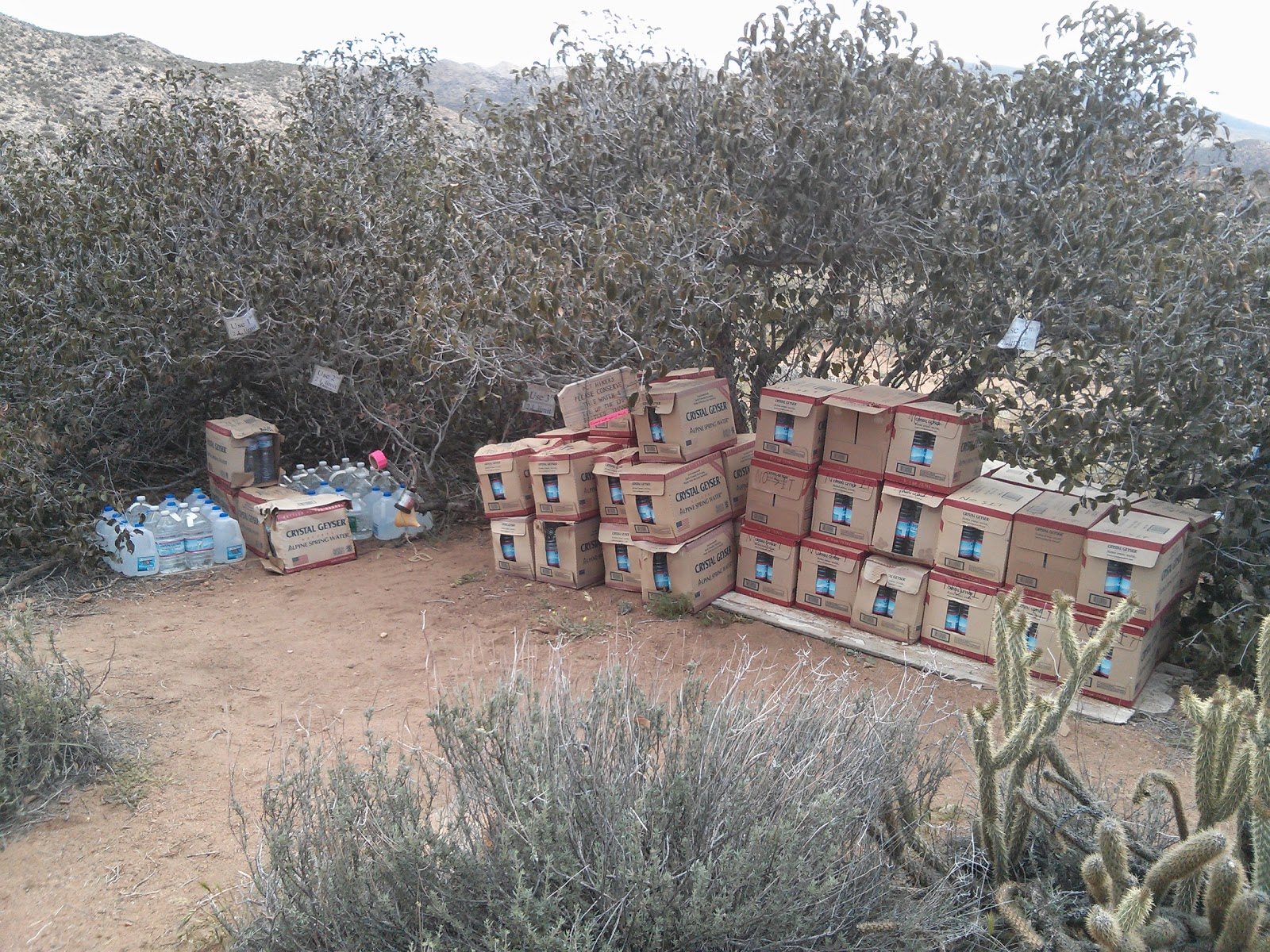
The re-stocked 3rd Gate water cache
Next, we went up the side trail from the cache, back to the PCT. It's a small 5 minute hike. There is a register at the trail junction that Jan wanted to check, and the wooden "Water" sign was mysteriously broken, so Lawrence fixed it with some nails. Everything looks good now.
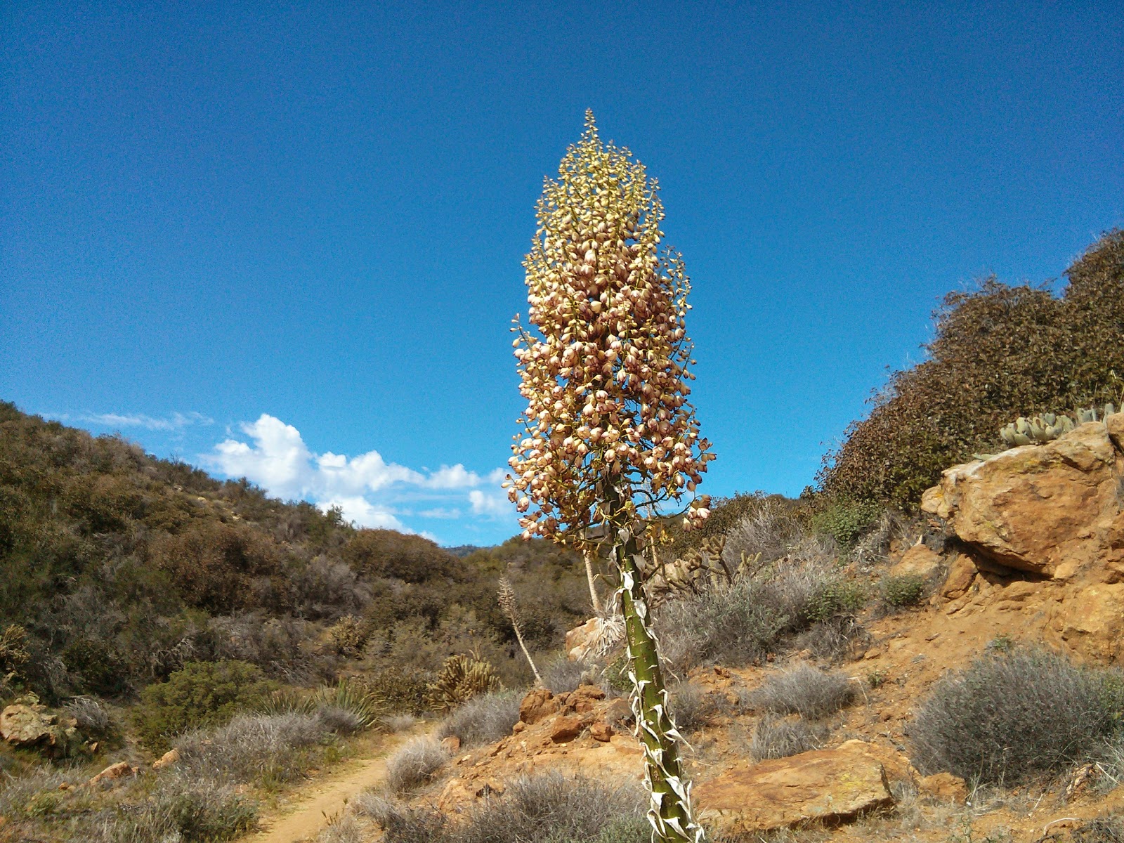
Climbing up towards the PCT, from 3rd Gate water cache
We went on, southbound on the PCT, for about a mile. One northbound hiker past us along the way. We were looking for an old "water" sign laying in the dirt, near a washed out road which no longer led to any water source. We couldn't find that sign near the junction, but Lawrence and I went down the washed out old jeep road back to the "main" dirt road to meet up with Jan and Jim at their car. It was a nice little hike.

Afterwords we moved on to visit the Warner Spring community center. Even though the site does not have a resort anymore, the community has put together a small store for the hikers, with the stuff that we'd need when passing through. There are also toilets and a shower, and a small restaurant that serves burgers (And - Veggie Burgers! That was really surprising), so we had a nice lunch there, before heading back for the long drive to San Diego.

It's been a long day, but I can't wait for tomorrow, to actually start walking this thing.

Wednesday, April 9, 2014

In San Diego

Well, I'm actually writing this bit from somewhere above the Atlantic Ocean, south of Greenland. But I guess it will be posted once I get to San Diego...

The past few days were strange but nice. I started my leave of absence from work last weekend, so I had five days of staying at home, getting ready for the trail, and having some good time with my gf and cat. It was very nice.

I did some trail related chores, life replacing the battery of my phone, activating my t-mobile sim card (it wasn't easy) and packing about two days in advance.

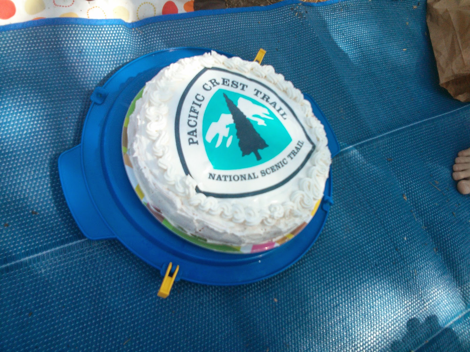
I also had a very nice picnic with my friends, to say goodbye to everyone before I take off. My gf surprised me by getting an edible pct logo and putting it over the cake she made me, which was awesome. And we had some great humus (from Abu-Hassan in Jaffa), so that was really good.

It was also very tasty!
Update
Right now I'm just about off to sleep at Frodo & Scout's house in San Diego. They picked us up from the airport, together with two other hikers, and we met up with Roi and Sarit, who got here yesterday.

Exciting new gear
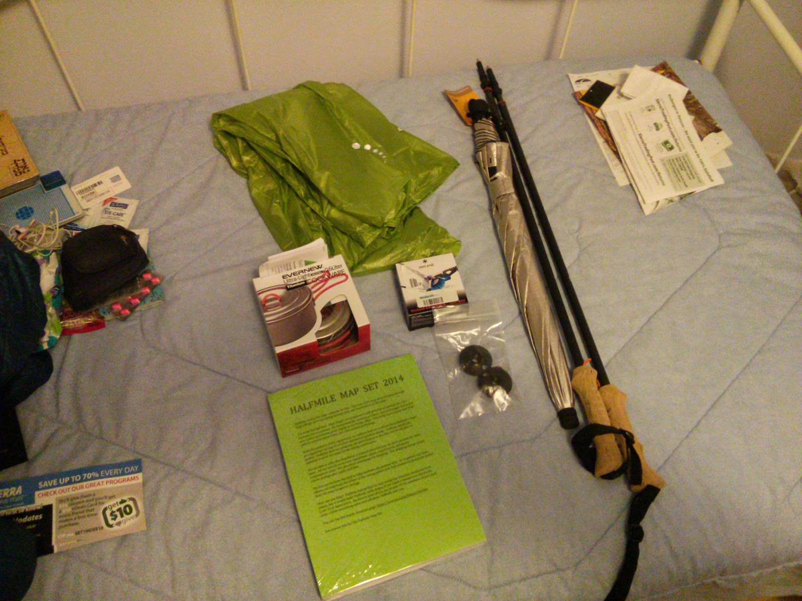
I got most of the gear I sent here, except the pot I got is 0.6 liters, while I ordered the 0.75 one. Bummer. I'll send it back tomorrow, and probably end up buying a different one at rei.
In two days, probably, I am going to start my hike, together with Idan and Roi and Sarit. Wish us luck.

Saturday, April 5, 2014

Considering my Bump Box

Having no logistical base in the US, I will not be relying on food packages during most of my hike. Since several resupply locations along the trail do not have any actual resupply options in them (No store, basically), I will send myself some packages from other towns, 2-3 weeks before arriving at those locations.
But first, I want to try and arrange my bump box for my hike.

What's a bump box?
A bump box is basically a package a hiker sends to himself, to a town a bit up the trail. Once he reaches that location, he opens the box, gets some needed gear from it, puts in some gear he might not be needing in the near future, and bumps it again to another post office further up the trail. The trick is that if the hiker never opens the package, and it was sent as Express Mail, he can bump it ahead for free (I'm sure there is some fine print regarding this, but that's the general idea).
I expect to open my bump box every time, so I won't be enjoying the tricky bit of the deal, but I do intend to put some stuff in it that I will probably not need in the beginning, and pulling them out as I go along.

So, what will be inside my bump box?
Well, for a start, most of Halfmile's Maps will be there, except for the section I will be currently hiking. At 225 pages, they can get quite heavy for the full set, and completely not needed months in advance.

I will also put in my Marmot Precip rain jacket. I bought a Mountain Hardwear Ghost Whisperer Anorak, which is about 6 times lighter, and should be enough against some drizzling and windy conditions. I hope I won't get a lot of rain at the beginning, but if I do - I'll get wet. I'll pull out the rain jacket (Which served me well on the AT) further up north.

Another piece of gear that I intend to bump ahead, is my Cladera Keg-F Stove System. I really like it, and was sorry to hear I wouldn't be allowed to use it in southern California. I hope I'll get along with my newly purchased Snow Peak LiteMax Titanium Stove, but as soon as I'm able to use my alcohol stove again, I'm switching over. I haven't started walking yet, and I already miss it.

In addition, I will probably put in a mosquito headnet I intend to buy (Probably Outdoor Research Deluxe Spring Ring Headnet, or something similar), a bottle of Dr. Bronner's Castile Liquid Soap (I will carry a smaller bottle with me on the trail).

I will start by sending my bump box from San Diego to Idylwild, for a pick up before my ride to the KO (Or maybe after getting back?). From there, I will probably bump it to Agua Dulce, and to Kennedy Meadows. And then? I'll improvise.

Tuesday, April 1, 2014

The PLB is here

Yesterday I got my Fast Find 220 device, rented from Small-World. It seems like a small-enough device, and I hope I will never need it.


I specifically chose a device with only an emergency option (No daily updates, or checking in along the trail), because I don't want my girlfriend to be worried if I accidentally forget to check in some day, or if it fails somehow. I will call home every chance I've got, and I believe that will be enough to keep everyone back here at ease.

Well, things are moving along. Scary stuff...