|
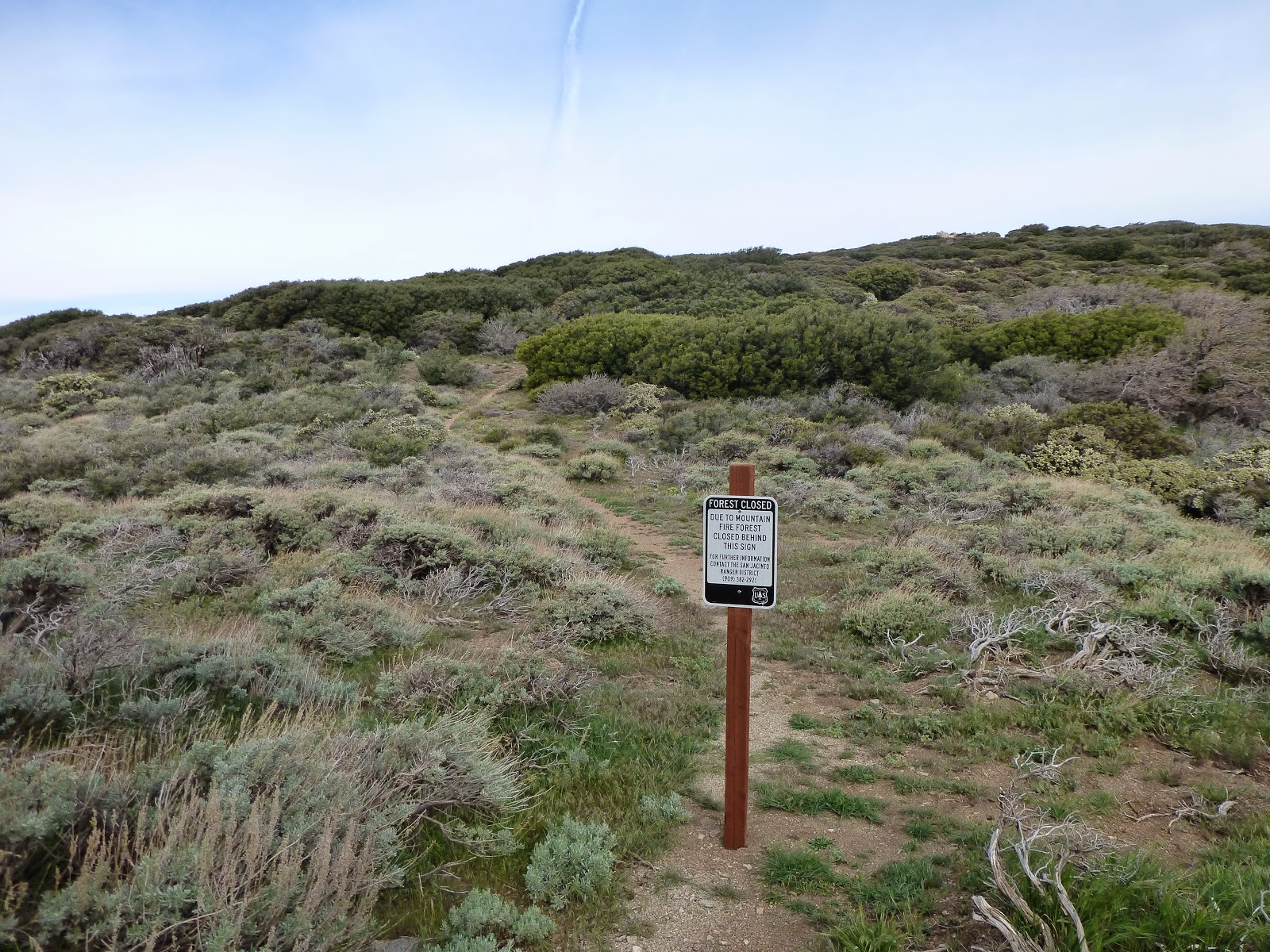
| At least I made it to the closure |
This morning I hiked an easy short trail to the closure sign. It was all up on ridge, and the winds were blowing hard. When I got to the closure I noticed that the eastern side trail, the one heading down to Ceder Spring, is also closed. Just so you know.
I took the western side trail, down from the mountain. I only found out then that the gpx file I had of the detour was for the second day. But I had Halfmile's blog post of that first day with me, including all the twists and turns along the way.
The switch backs down were quite easy. I met a guy hiking up with his dog. Looked like they were just having a stroll. The trail down at the valley was also quite easy, and then I reached the paved road. The road was completely deserted, so be careful, but it's no highway. From there, I found the "Fobes Trail" Halfmile mentioned in his post, and continued down on it, until I could see the highway just about 200 yards away.
I was standing there, thinking that maybe I'll get to the campground early, and just push on to get to Idyllwild this evening, and on the next step I took I really twisted my left foot.
It was quite clear I was not doing any more Mike's today, so I hobbled to the highway, and hitched into town. I got a ride quite quickly (thank you, Candy and Mark), and met up with Idan at the Idyllwild Inn.
Idan plans on hiking up to San Jacinto peak tomorrow, and reach Ziggy & The Bear (a hostel) in two days, to catch a ride to the kick off from there.
I'm showered, got some food (made a salad with a tomato, carrot and an avocado) and am now resting in our room with ice on my foot. I will probably go to a local health center and have someone take a look at it.
I might just zero in here for two days, until the kick off, and then two more zeroes over there. Hopefully that will fix it.
Wish me luck.
No comments :
Post a Comment